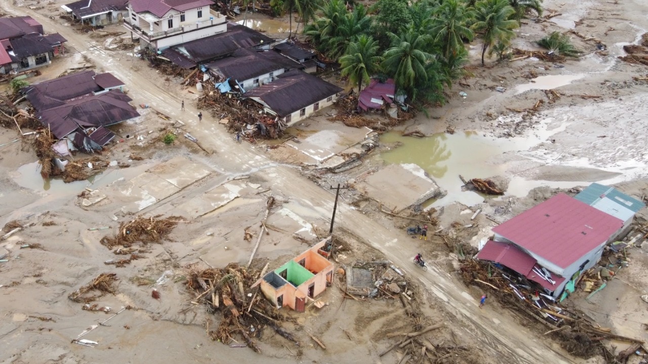
A 6.6-magnitude earthquake struck the Banda Sea near Indonesia's Maluku Islands on Tuesday at a depth of 137 kilometers, according to GFZ. BMKG confirmed no tsunami threat followed the tremor.
A magnitude 6.6 earthquake struck the Banda Sea near Indonesia’s Maluku Islands on Tuesday, according to the German Research Center for Geosciences (GFZ). The quake occurred at a depth of around 137 kilometers (85 miles). Indonesia’s Meteorology, Climatology and Geophysics Agency (BMKG) confirmed the tremor and stated that it posed no tsunami threat.
The seismic event comes less than two weeks after a magnitude 6.7 earthquake hit Papua province. Indonesia, located along the seismically active Pacific “Ring of Fire,” frequently experiences earthquakes due to its complex tectonic configuration.
The Banda Sea region, in particular, lies at the convergence of multiple tectonic plates, including the Australian and Sunda plates. This interaction has fractured the Earth’s crust into smaller plates and microplates—such as the Banda Sea, Timor, Molucca Sea, and Bird’s Head plates—forming one of the most intricate geological settings on Earth.
In this area, the oceanic lithosphere plunges to depths exceeding 600 kilometers, making the Banda Sea one of the world’s most earthquake-prone zones.
- Ends
Published By:
Aashish Vashistha
Published On:
Oct 29, 2025

 1 month ago


